Große Mühl - Ulrichsberg bis Schlägl
The bedrock over which the Kleiner Kamp flows differs from that of the Ybbs. The Kamp is located further to the north in Lower Austria which has crystalline rock from ancient mountains. This rock is igneous granite. The Kleine Kamp is located in the NW part of Lower Austria called the Weinsberger Wald. It flows to the northeast until it reaches the village Rapottenstein where the Kleine Kamp empties into the Grosse Kamp, a tributary of the Danube. The Kleine Kamp is 24 kilometers long and descends 266 meters in that 24 km. It is located in the Natura 2000 Nature protection area called 'Waldviertler Teich-, Heide- und Moorlandschaft'.
Map Kleiner Kamp [ÖK 1:50.000, BEV | jpeg]
Our river stretch “Kleiner Kamp I/1, I/2 and Großer kamp I/3” ranges from the spring source to the Diethartsmühle 1,5 km east of the junction with the river Großer Kamp. Over the last 20 years fishing has been abandoned on this stretch meaning stocking as well as removal of fish has not occurred.
Fish of the Kleiner Kamp
The fish Bioceonosis of the Kleiner Kamp is both the Epirhithral (upper trout region) and Metarhithral (lower trout region). Of special note is the population of the endangered Freshwater Pearl Mussel found naturally in the Kleiner Kamp. The Following fish species occur in the Kleiner Kamp:
-
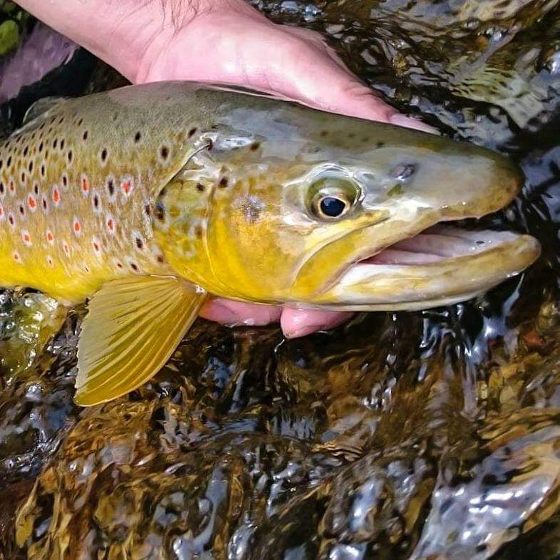
Brown Trout (Salmo trutta)
-
Bullhead (Cottus gobio)
-
Burbot (Lota lota)
-
Common dace (Leuciscus leuciscus)
-
Common roach (Rutilus rutilus)
-
European brook lamprey (Lampetra planeri)
-
European chub (Squalius cephalus)
-
Grayling (Thymallus thymallus)
-
Gudgeon (Gobio gobio)
-
Rainbow Trout (Oncorhynchus mykiss)
Natural Character of the Kleiner Kamp
The stream order of the Kleiner Kamp as described by Strahler is 2. The Kleiner Kamp is in natural shape with little to no human interference concerning the hydro-morphology of the river. The Kamp has two characteristic stretches. The upper stretch flows through a wooded forest with a relatively steep gradient. The lower stretch flows through flat arable fields where the river is winding.

Foto: Bernd Keplinger

Foto: Bernd Keplinger

Foto: Bernd Keplinger

Foto: Bernd Keplinger

